 |
| Map: Location of Naning |
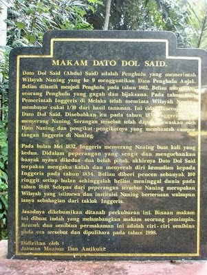
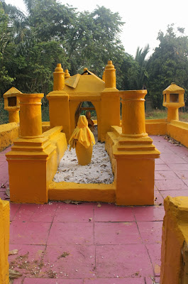
Naning is one of the most popular historical places in Malaysia. Even though Naning is a small place that quite secluded from the city, but it has its own unique attractions. Naming is located between Rembau, Negeri Sembilan and near to Taboh. The villagers at Naning are depending on their proceeds such as paddy, fruits, betel and tin that make British prompted to get Naning. According to the History, Naning have been colonized by the British around the year 1832 and have been governed by Dutch since the year 1757 until 1824.
 |
| Taboh Naning Mosque |
The existence of Naning has started in the 13th century where according to the villagers; the origin of Naning is centered on yellow wasps and “tabuh” or “beduk” which is one of the tools that hammered during the time for prayer or death. During that century, Naning had been explored by Datuk Pepatih Nan Sebatang from the Minangkabau, Sumatra which also included a group of local people and has opened a new settlement in Bukit Penyalang. Before they reached to Bukit Penyalang or one time before has known as Bukit Bisu, the entourage of Pepatih Nan Sebatang that also a founder of Pepatih custom have discovered three islands aligned. At the island, they have found yellow wasp nest that very poisonous or known as naming and a “tabuh”. There have something strange happened where the “tabuh” have make sound by itself on every Friday evening and if there have something bad happened in that area. Until now, Naning still exists and its administration centered at Taboh.
KB Dun Taboh Naning


.jpg)


